Slogging through the
Travelogue May-June, 2009
I spent May 19-June 3rd, 2009, mostly touring the Mountrail county Bakken. This is my photo essay of what I saw, more or less in the order I took the photos.
This is that “carnival ride” oil pump I think on the
Another shot with the pump in the “up” position
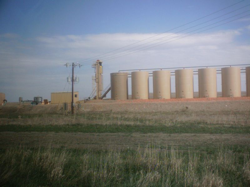
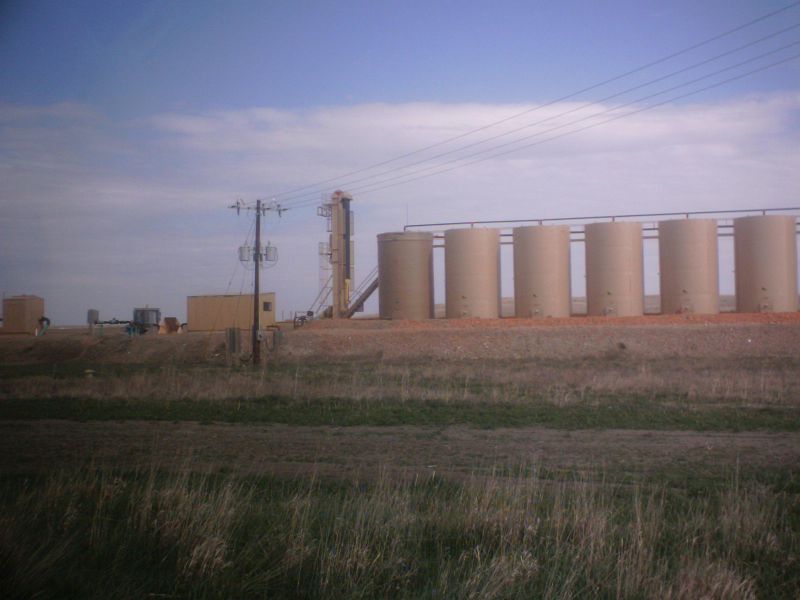
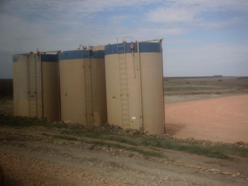
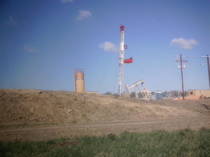
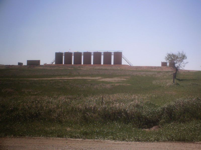
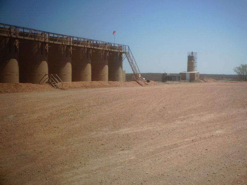
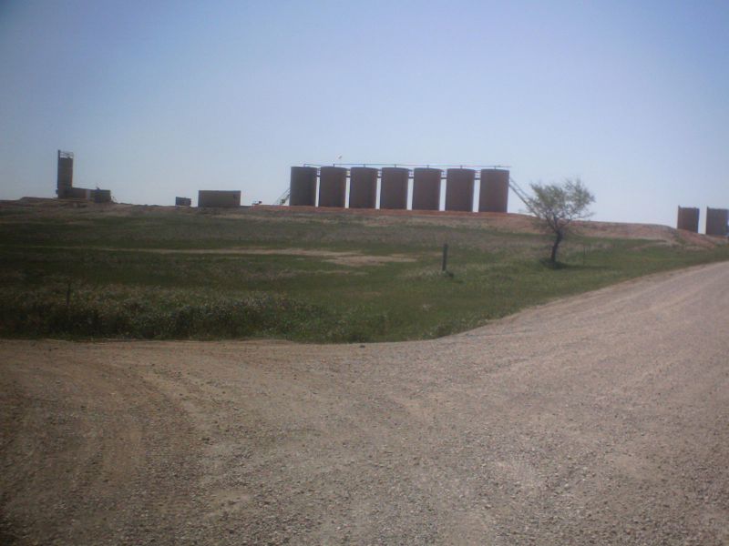
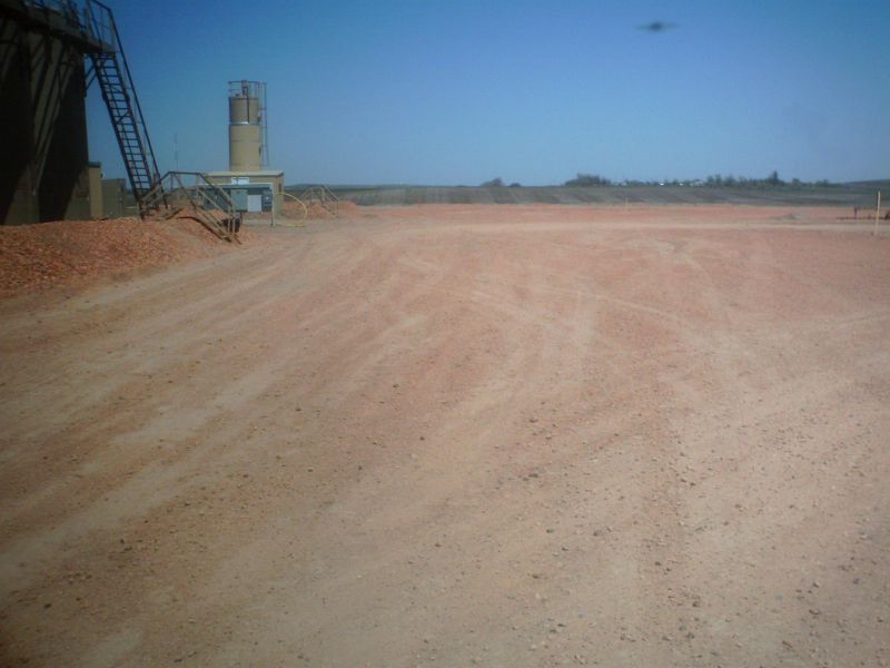
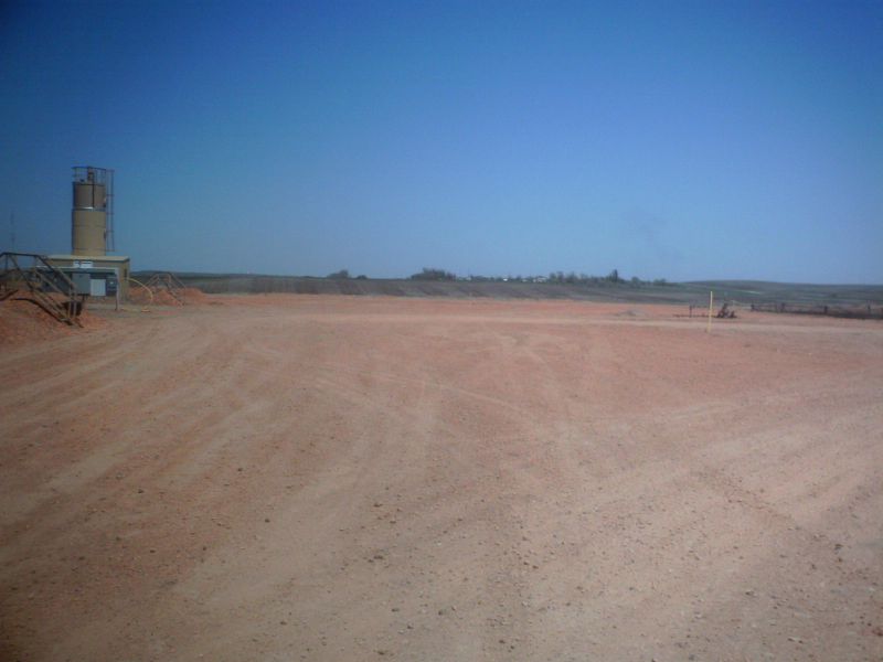
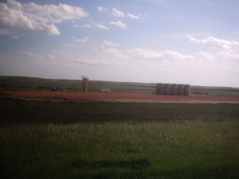
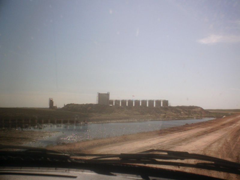
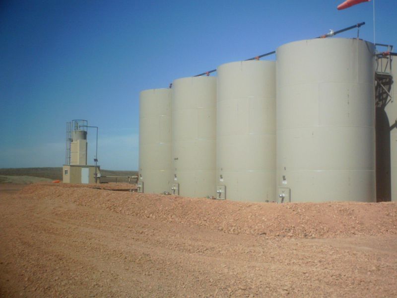
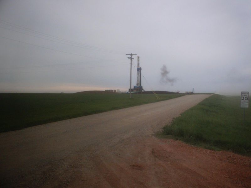
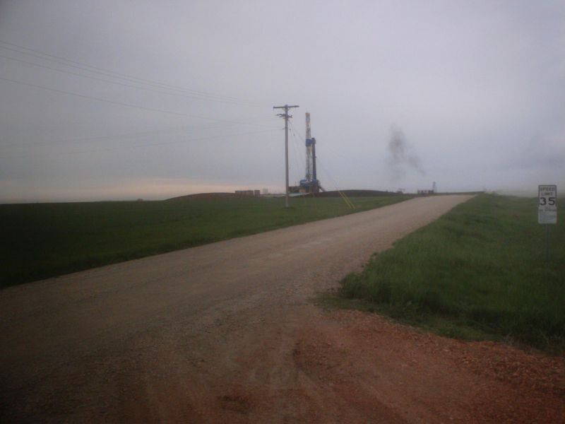
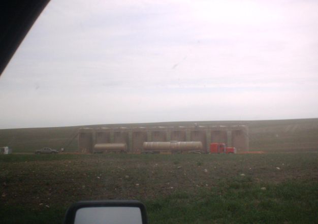
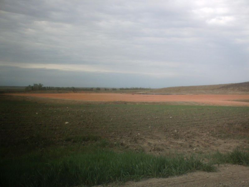
Three shots of Shell 1 8H drilled April 09 by Pioneer 57 and awaiting fracing operations
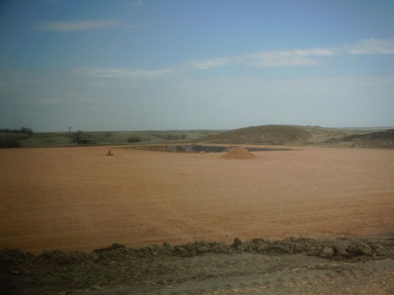
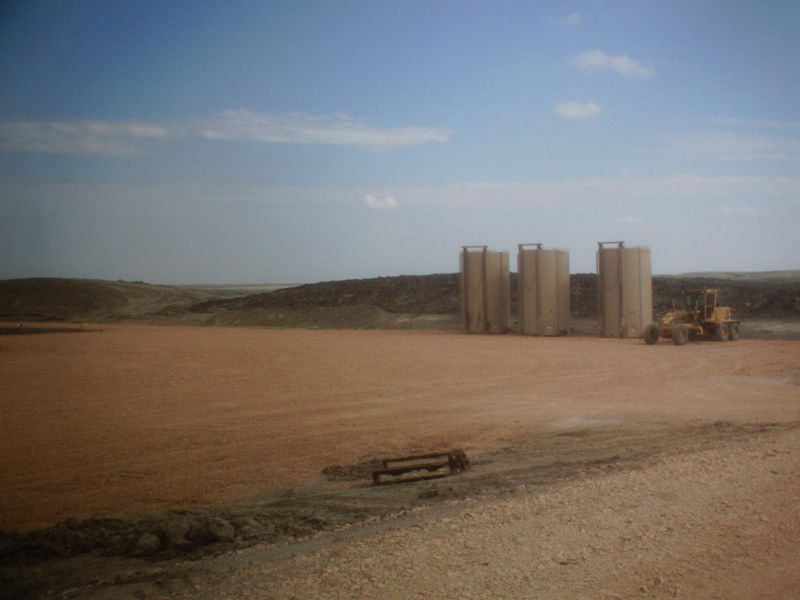
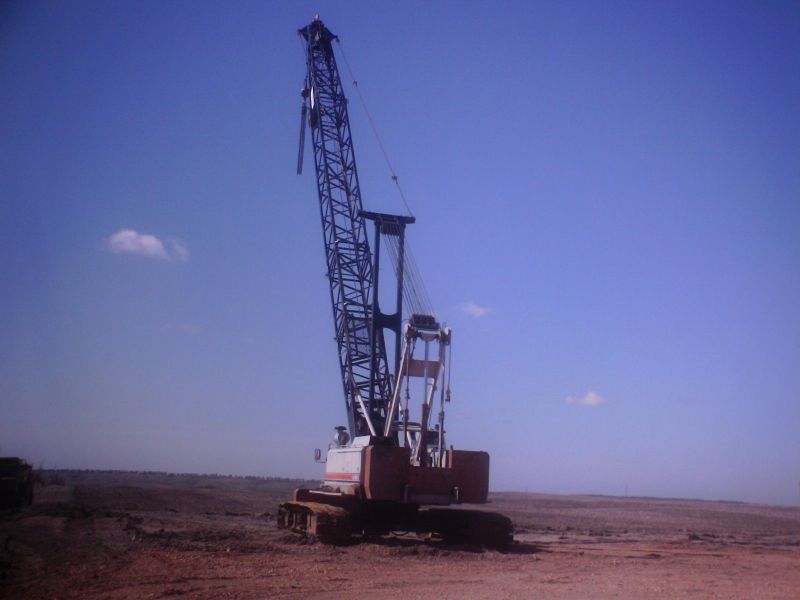
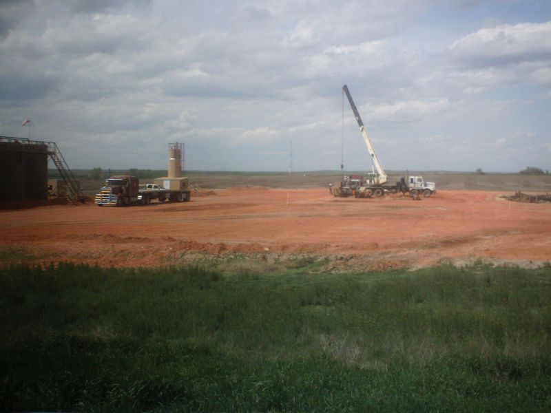
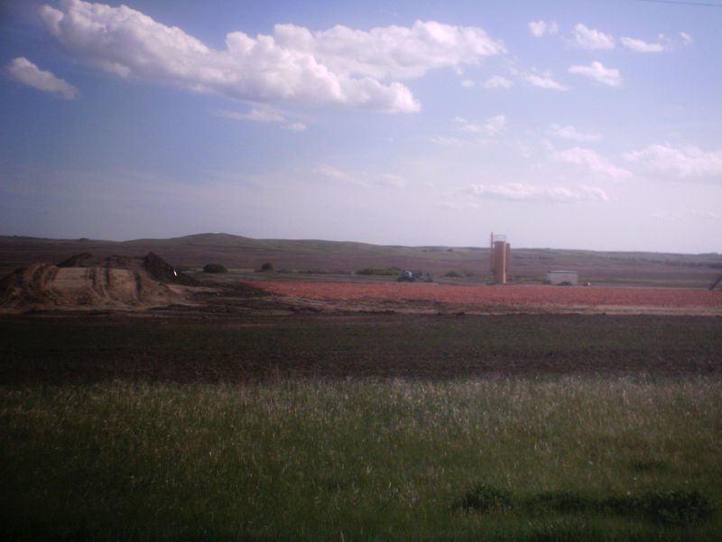
Shell 3 5H, one mile due north of 8H, also drilled by Pioneer 57 and awaiting fracng. The crane was on site but moved off-site while I was up there.
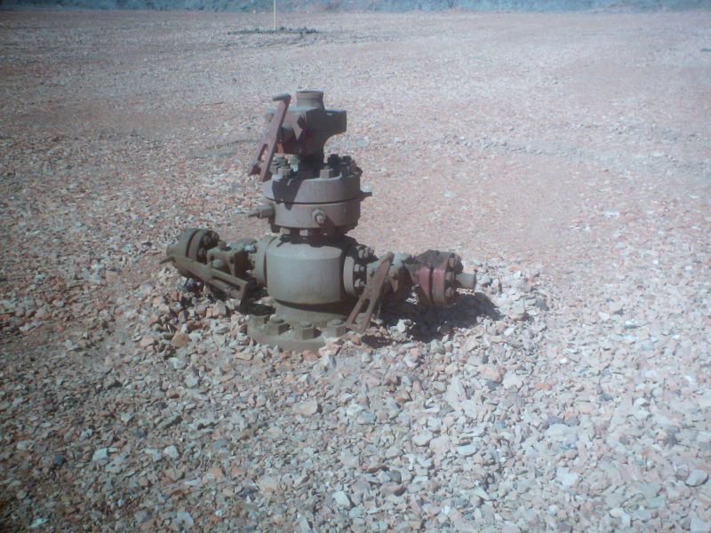
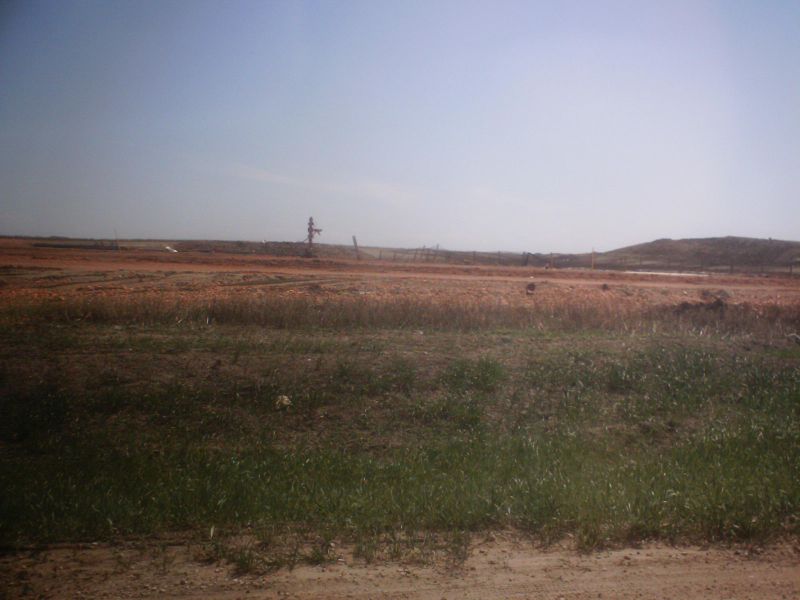
The Shell 3H wellhead, as yet unfraced
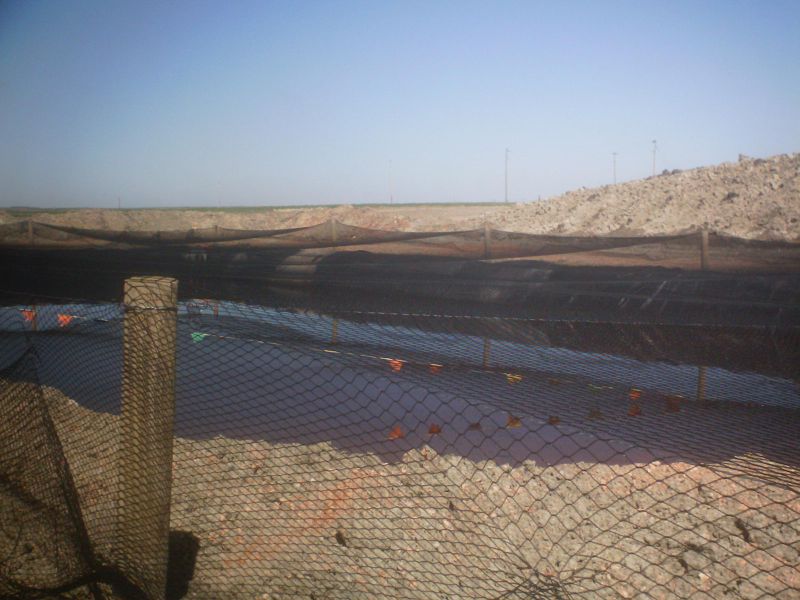
The Shell 3H mud pit is completely covered with netting in an effort to keep birds and mammals out
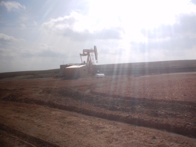
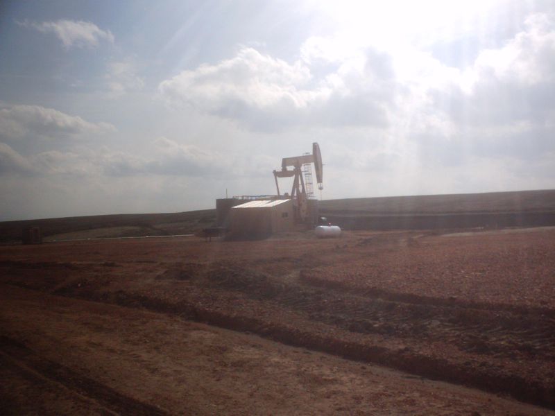
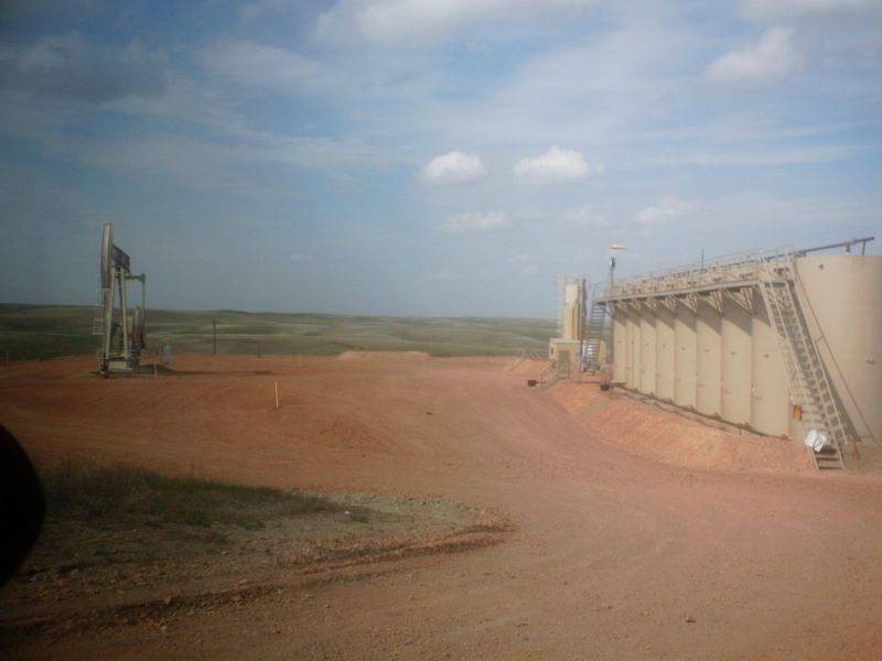
Erickson 1 7H, one mile west of Shell 8H. This well is a nice producer for Hunt (not EOG) over the past 8 months, has a horsehead pump and is still flaring.
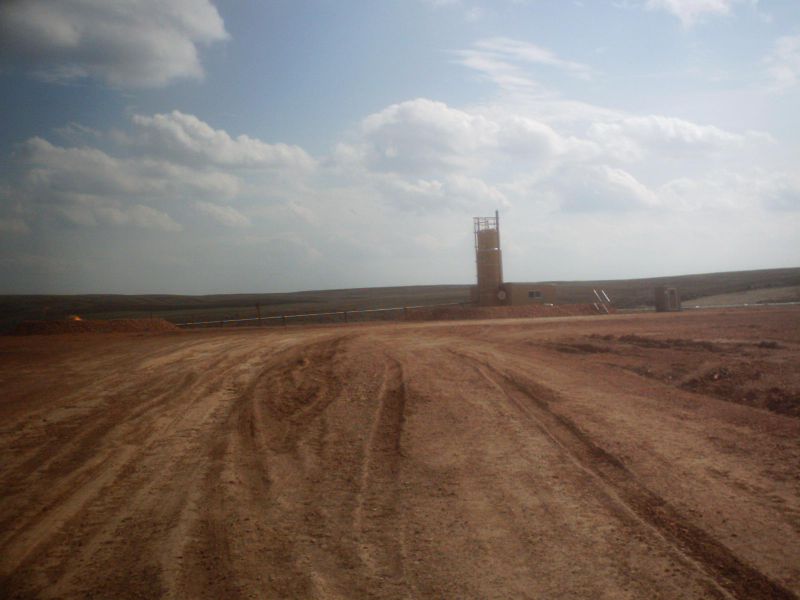
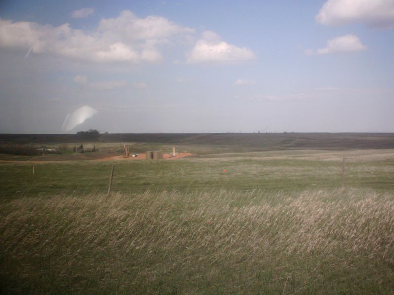
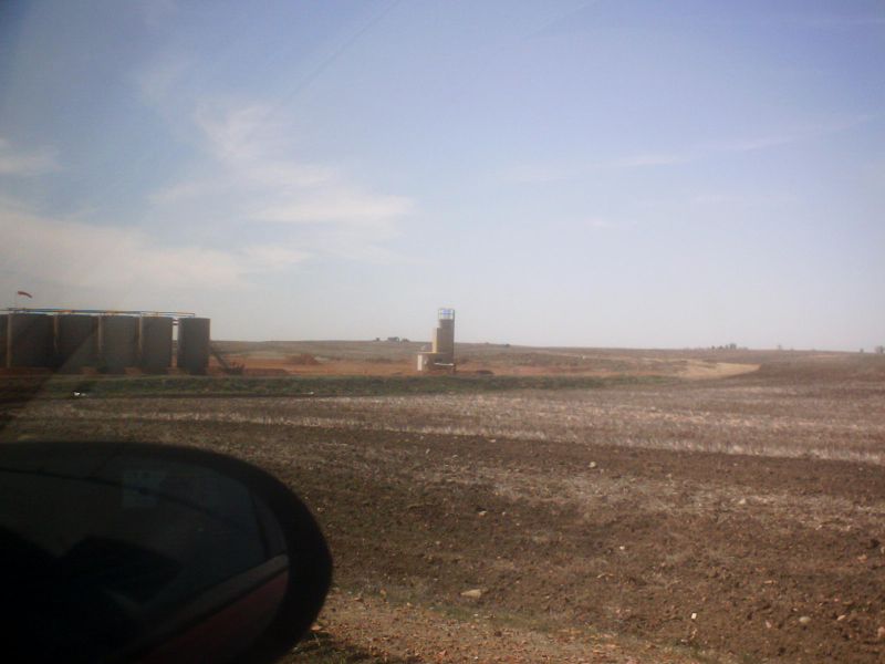
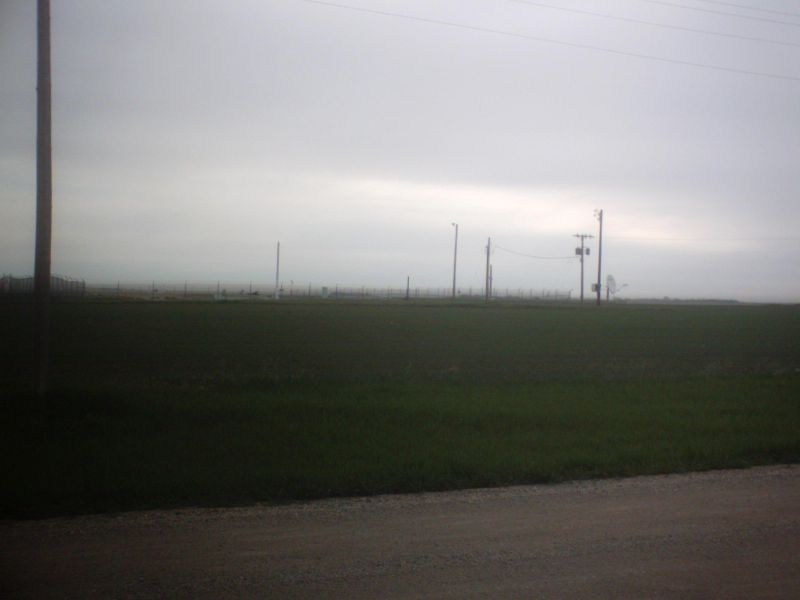
More wells heading SE into Wayzetta TWP. I’m not sure exactly which wells each of these are.
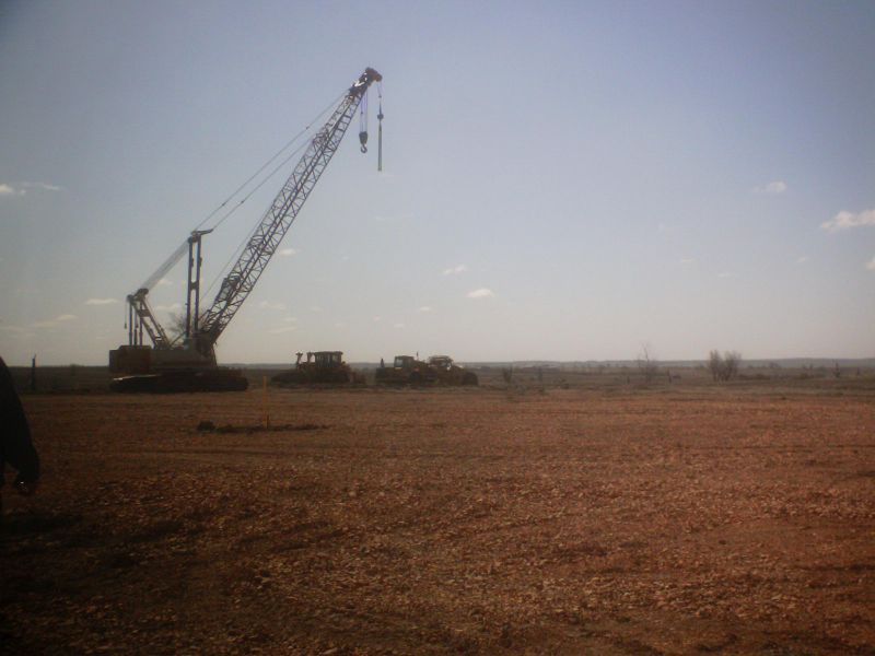
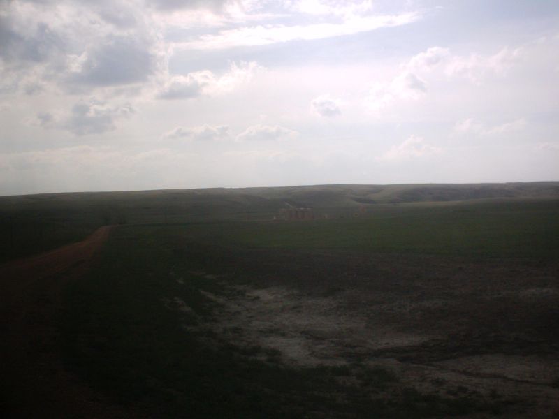
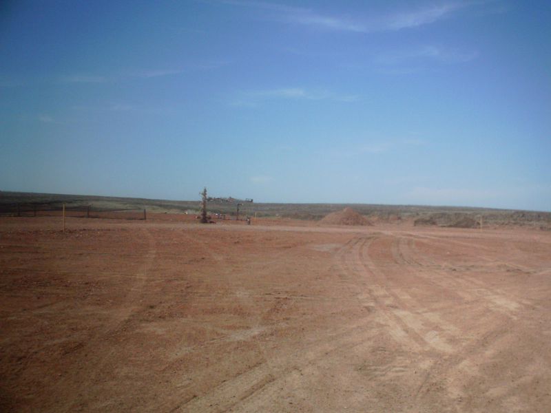
If you look carefully on the horizon of this shot you can see the crane that was located on Shell 5H at the horizon, so we are about 2 miles SE of that location for this well
Another typical EOG Wayzetta well in a valley.
And another…
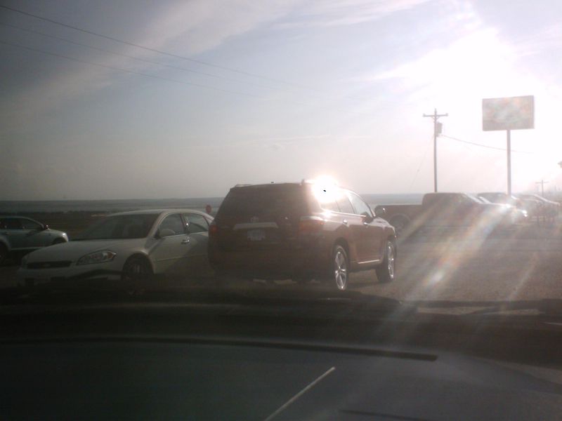
This brand new Toyota SUV parked at the Scenic 23 belongs to an unnamed mineral owner and neighbor.
The road heading to the right goes north near
the western edge of
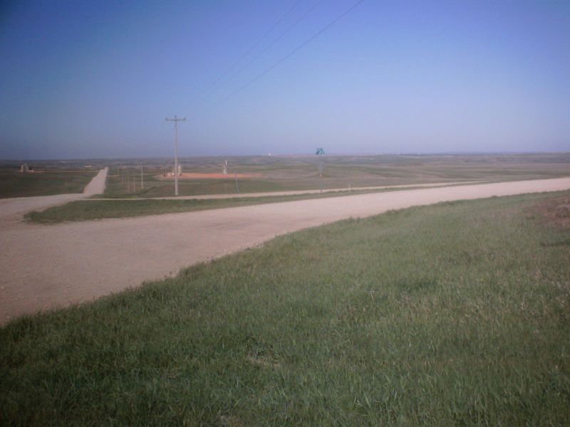
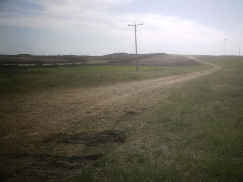
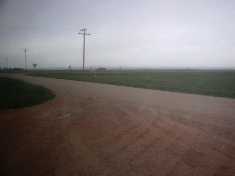
Roads are in surprisingly good shape, given all the snow and traffic. They have put a lot of gravel on them, so there is a lot of loose stone. If you travel these roads, make sure your glass coverage is current. This is an oil truck headed for an oil pick up.
I’m not entirely sure what was going on here. This was on Wayzetta 1 13H, a well drilled a year ago that has been in production for some time. The horsehead pump was stopped and this rig was on site.
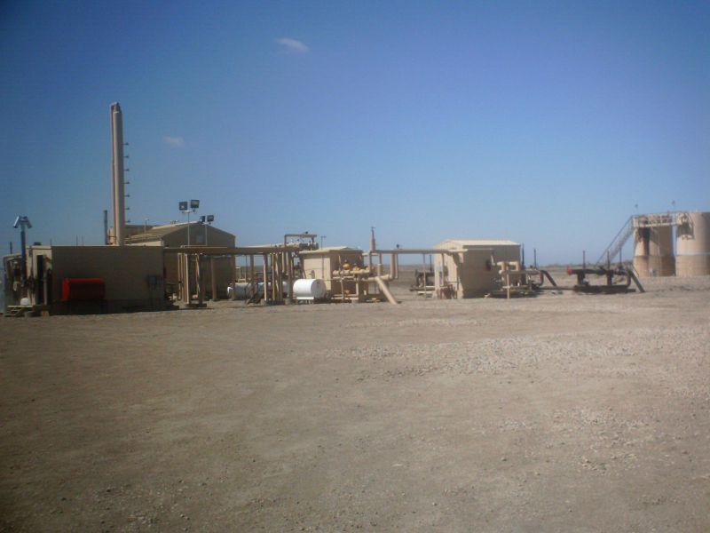
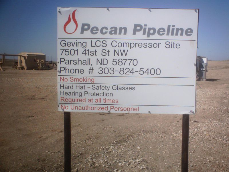
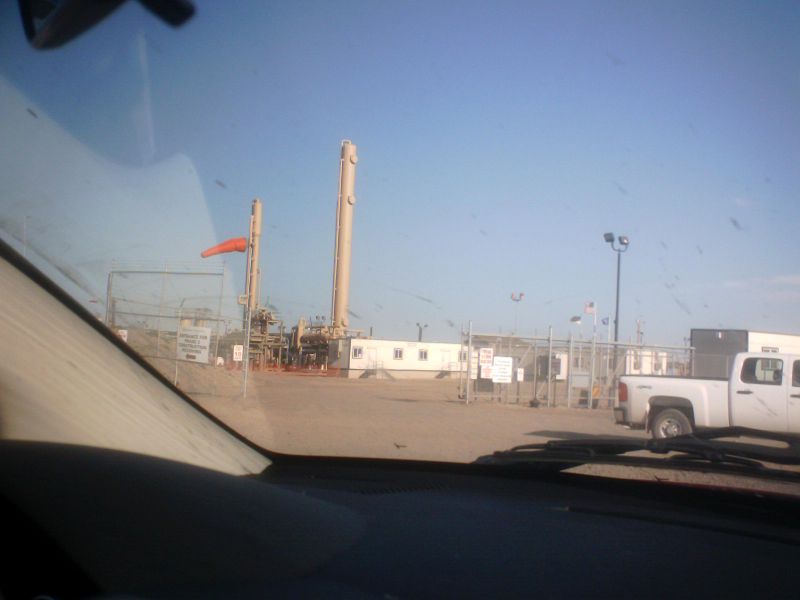
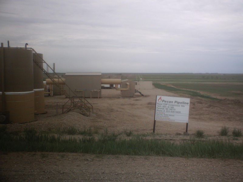
The Pecan Pipeline gas compressor site near the Geving 9H well
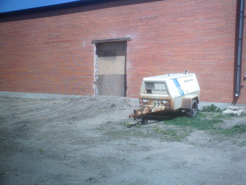
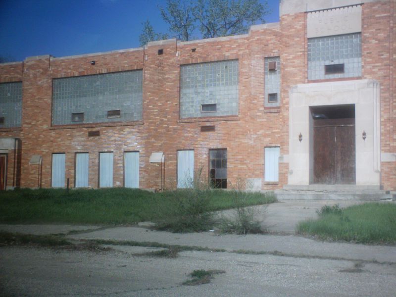
The famous Parshall Elementary multipurpose room which as faced the equally famous in the region food waste plumbing problems under the concrete. There is talk of tearing down the entire structure and rebuilding it, since water squirts out of the foundation like a fire hydrant every time they drill into the saturated foundation block. I started the 6th grade in this school the year when it was built so the Multipurpose room and I go back a long ways.
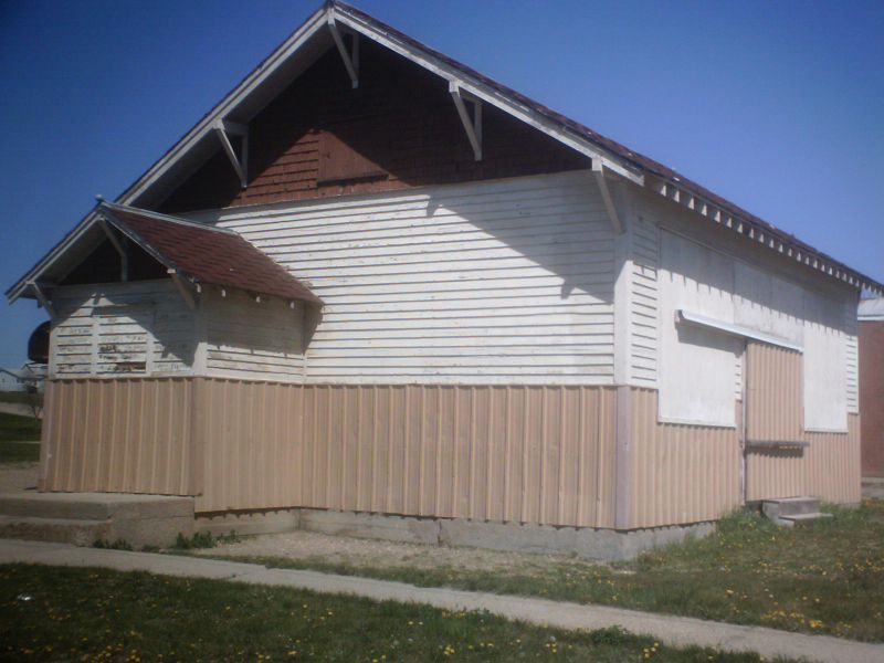
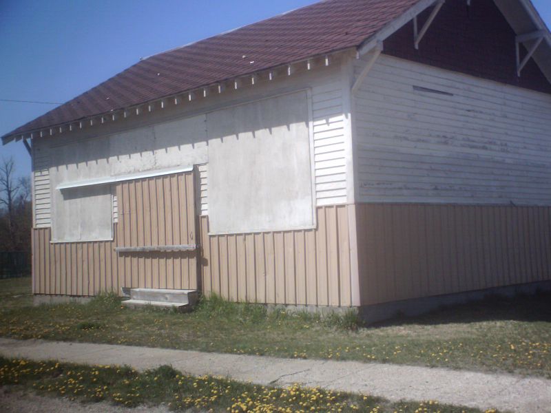
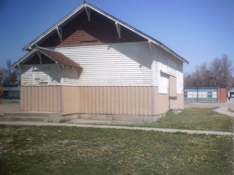
This building, now used as storage and located only a couple hundred yards from the multipurpose room on the elementary school is now used for storage. It was moved to this site, but was originally located on section 29 of Parshall township and was my home for grades 1-5. This school building, much older than the Multipurpose room (which dates from 1958), has survived the ages in better condition. Much of the exterior is still original, tho the windows have been closed, metal siding and a door added to the site. The other siding and shakes near the peak are as they were on the original school. You can see the brick wall of the multipurpose room just behind the school in the second of these three photos.
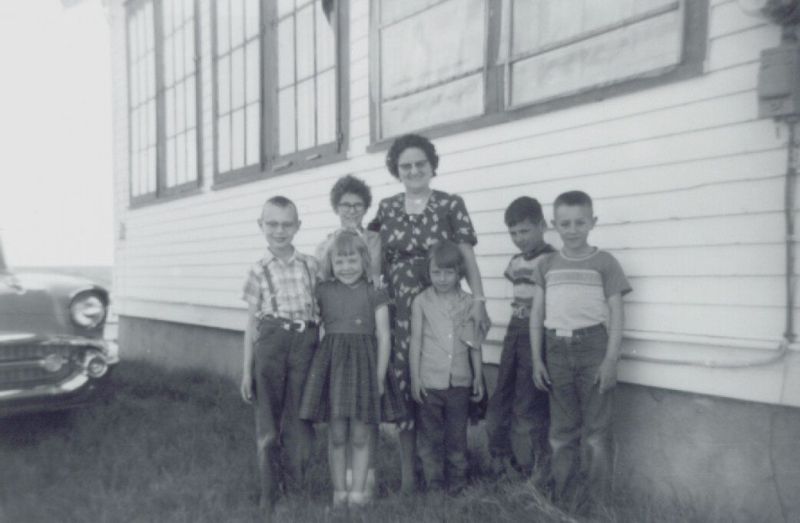
The same building when it was located on section 29 of Parshall township This photo dates from 1957. Elizabeth Erickson’s coral and tan 57 Chevy was brand new. That’s me as a fifth grader on the far left. The others left to right are Adele Detienne Carol Clemenson, Hope Bonsall, Earl Detienne, and Scott Bonsall. Section 29 of Parshall township has a new well awaiting fracing whose lateral runs nearly directly under where we are all standing. Little did we know.jpg">
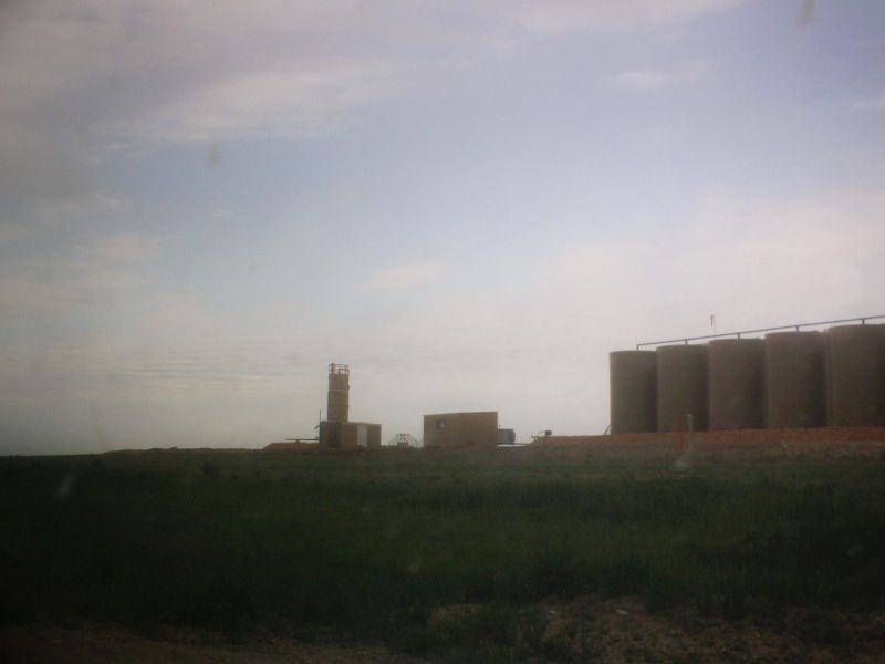
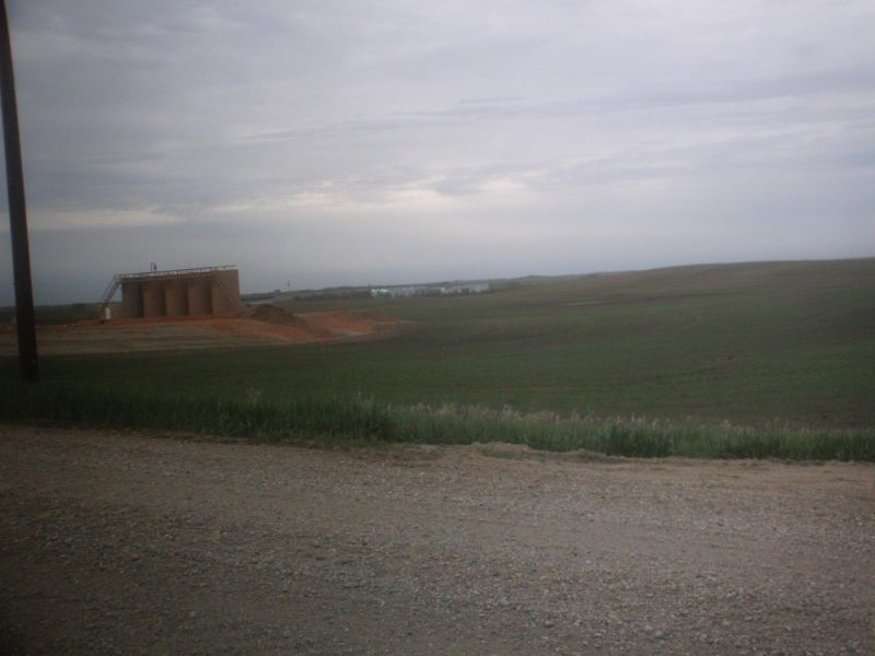
Here are shots of the Fertile 3H section 3 well site to the SE, drilled this spring, and awaiting fracing.
These are shots of the Parshall 11 28 wellsite, just across the road on the NW corner east of the Division school section 29H. This well has been producing without a pump for the past several months.
In this shot of 28H, the road to the right would lead south to the Division school site, now farmed over and the road to the left would lead back into Parshall aka old ND 23 prior to when the Garrison dam went in and the section heading west out of Van Hook got flooded.
Across the old ND 23 road to the north we always have to get a shot or two of good old Parshall 4 20H, producing since August 08 on th Luchsinger quarter. Yup, that’s the home farm on the horizon, just over a half mile north. All is quiet there. However, on another day there was a crane on site.
I’m not sure what they were doing with the truck crane on 20H but it was gone in my subsequent returns.
Here is the “Christmas tree” on the Slawson
“Wombat” 25H site, just west of the
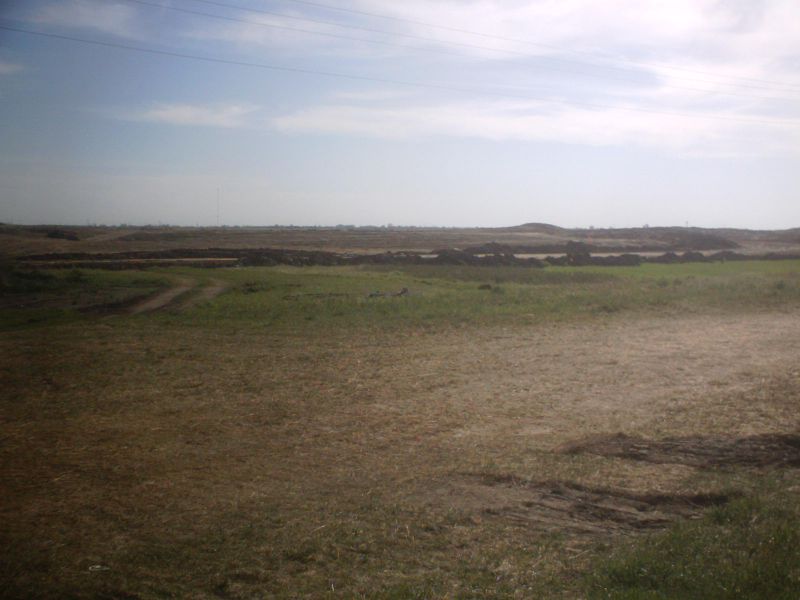
Next I ventured some distance away into the so called Pouch
Point area, to look at some Marathon drilled wells in
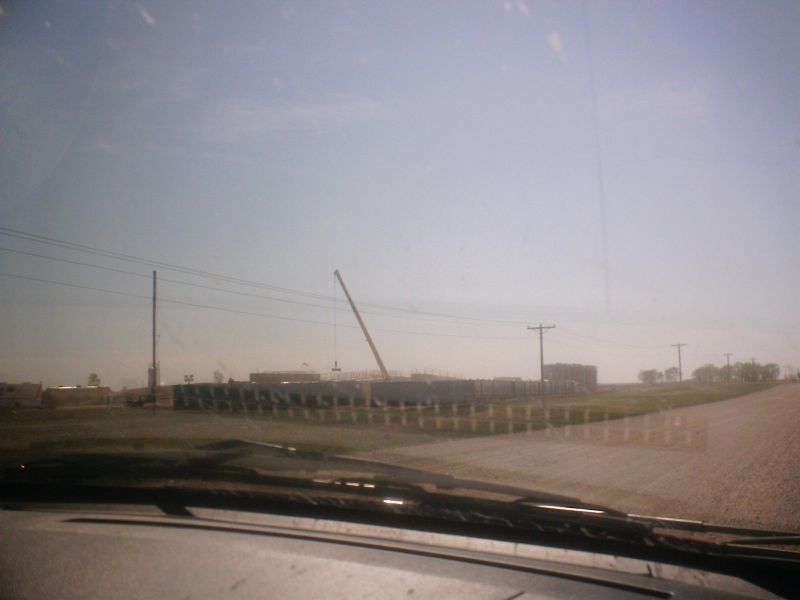
Shifting locations again we are now on the road due west of Belden. At this site on the south side of the road there were Halluburton trucks everywhere and I think fracing going on. I’m not sure of the well number as this is a bit out of my territory.
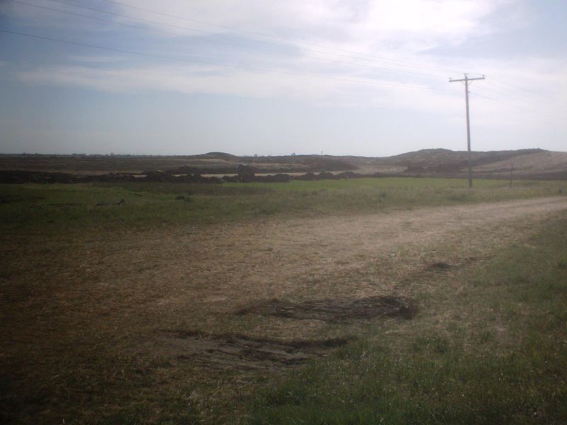
Some of this road has been rebuilt and is not that great.
More wells on the road just east of Belden
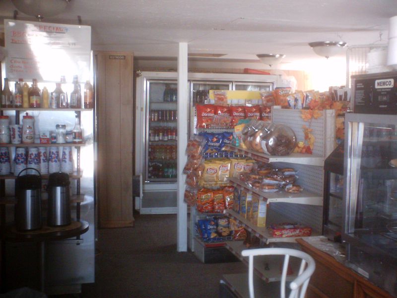
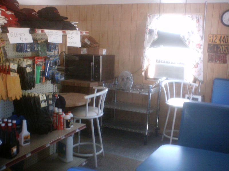
The Belden Stop convenience store. Owned by Warren Lahtinen, it’s on the east side of highway 8, and is the only place to get stuff in the territory. This is a smaller and a more current version of the old Belden store, and even has a microwave. I did not see any stashes of blue jeans, however.

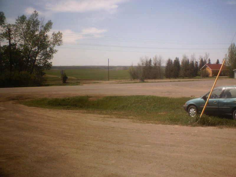
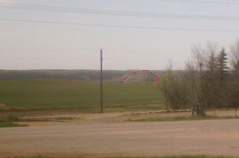
If you stand on the porch of the Belden store, you can actually see the chocolate drop in the distance to the Northwest.
The chocolate drop is just to the right of the pole in the center of this photo
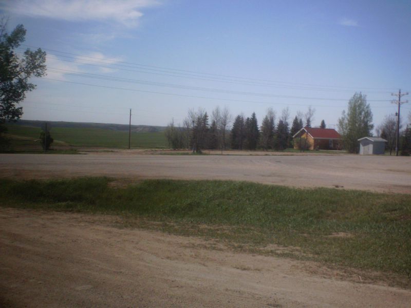
Here is a blown up photo, and a red line to outline the hill if you are still wondering. The chocolate drop must be a couple miles west of highway 8 off a gravel road heading west from highway 8 north of the store and located on land owned by Diane Arndt.

Now we are headed east of
Time to stop at the recently remodeled Palermo Bar and Grille
(the seldom used outdoor deck got enclosed), and quietly listen in on the
conversations going on by royalty owners as well as the oil workers. And then
take a shot of the closed
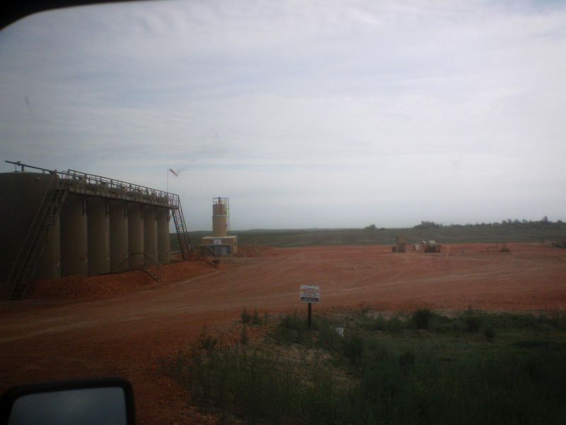
This is the EOG gas plant site south of

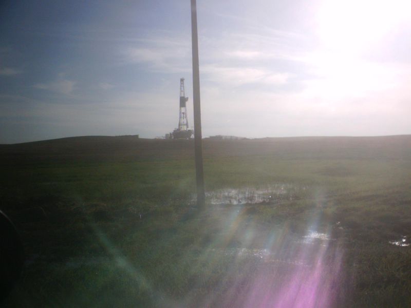
EOG’s True 28 rig working a
Now we move back into Model and Parshall townships. Here is the rig drilling the Model 1 7H infield well between Sampson and GDR. The word I get is both Sampson and GDR were drilled a little too deep and this is in part an effort to build a better but slightly shallower well between the two older wells. You are looking east. Off on the horizon you can actually see the GDR horsehead pump a half mile away.
Just west of where they are drilling is a missile silo. I was standing on the same spot to take these two shots one of the well and one of the missile silo
Just south of the road, across from the Missile silo to the south is another Model well site that has been permitted for over a year but has not yet been drilled. The well name here is “Ruud” and its on section 18 of Model.
Then directly to the west of the rig is the Sampson well just inside Shell township.
Now we are heading west of Parshall along the gravel road just north of Parshall. The first well, on the south side of the road is the Slawson Wombat well on section 25.
next comes Parshall 13 section 26 also on the south side of the road
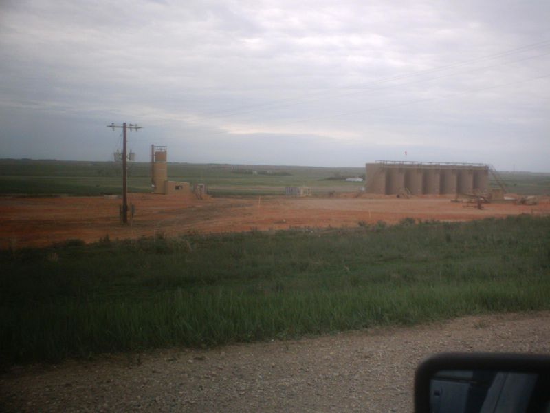
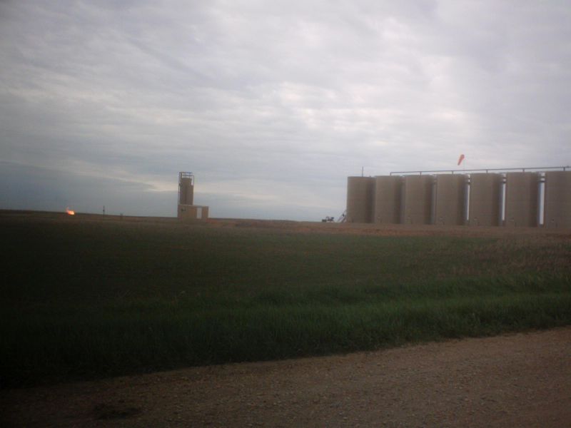
Next the Pecan Pipeline gas compressor sitre on Risan land
Next Parshall 6 on section 22 on the North side of the road
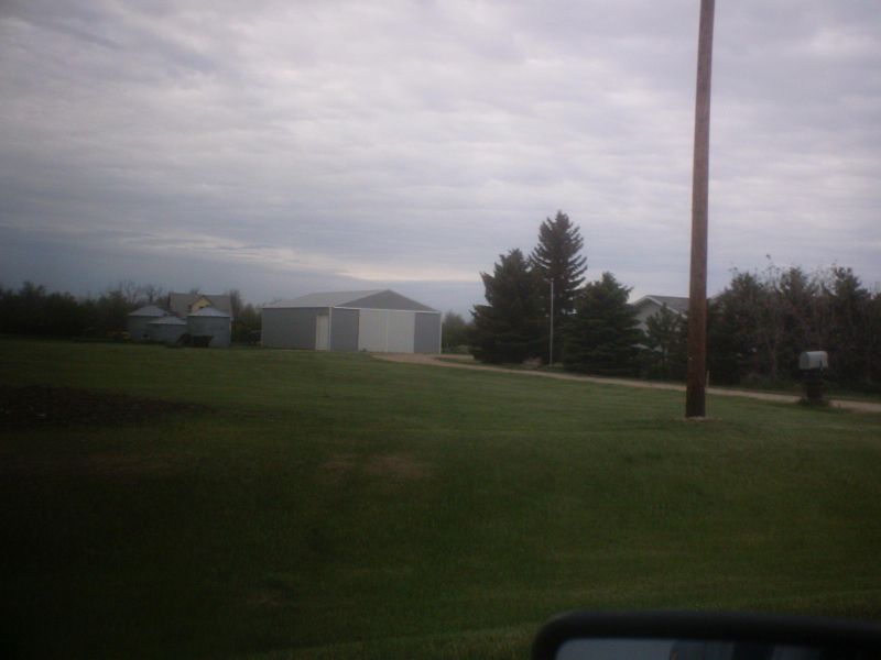
Next Rick Hovda’s farmstead on the south side of the road
This must be Parshall 12 Section 27
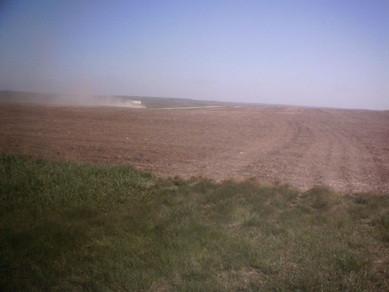
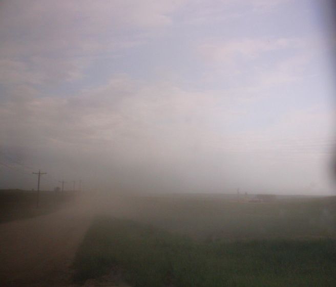
Oil truck must be loading at Parshall 6 section 22. The roads kick up a lot of dust.
This must be Parshall 12 section 27
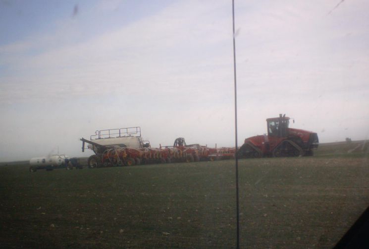
Nelson family air seeder setup. What happens when oil truck meets air seeder on these roads may not be good.
The crane was off of Parshall 4 20H at this point and all looked calm
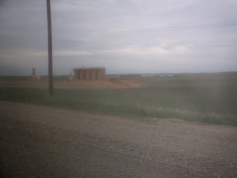
Another shot of the unfraced Parshall 10 29H site
All for now
David Debertin